
Payson ZIP Code Coverage
The primary USPS ZIP for Payson is 84651, but the postal association is wider than the incorporated city. Utah’s official ZIP-by-county table associates Payson, Elk Ridge, and Spring Lake with 84651. That shared label is useful for mail and address validation. It is not a list of city residents, and it does not place every 84651 parcel inside Payson.
| ZIP Code | Areas Covered | Post Office | Notes |
|---|---|---|---|
| 84651 | Payson city addresses | Payson Post Office | Primary Payson delivery ZIP |
| 84651 | Elk Ridge named place | Payson Post Office | Shared municipal geography |
| 84651 | Spring Lake named place | Payson Post Office | Postal association, not city status |
| 84653 | Salem and nearby rural addresses | Salem Post Office | Adjacent postal geography |
A ZIP code directory should show the repeated 84651 relationship instead of pretending it is one clean city polygon. The official table is a municipality and postal-association list. USPS controls delivery assignment, while county GIS is the better check for parcel municipality. No official source in the research exposed a complete delivery polygon or historic realignment log.
The Utah ZIP-by-county table is the source shown in the capture and the clearest state-level check for Payson’s postal associations.
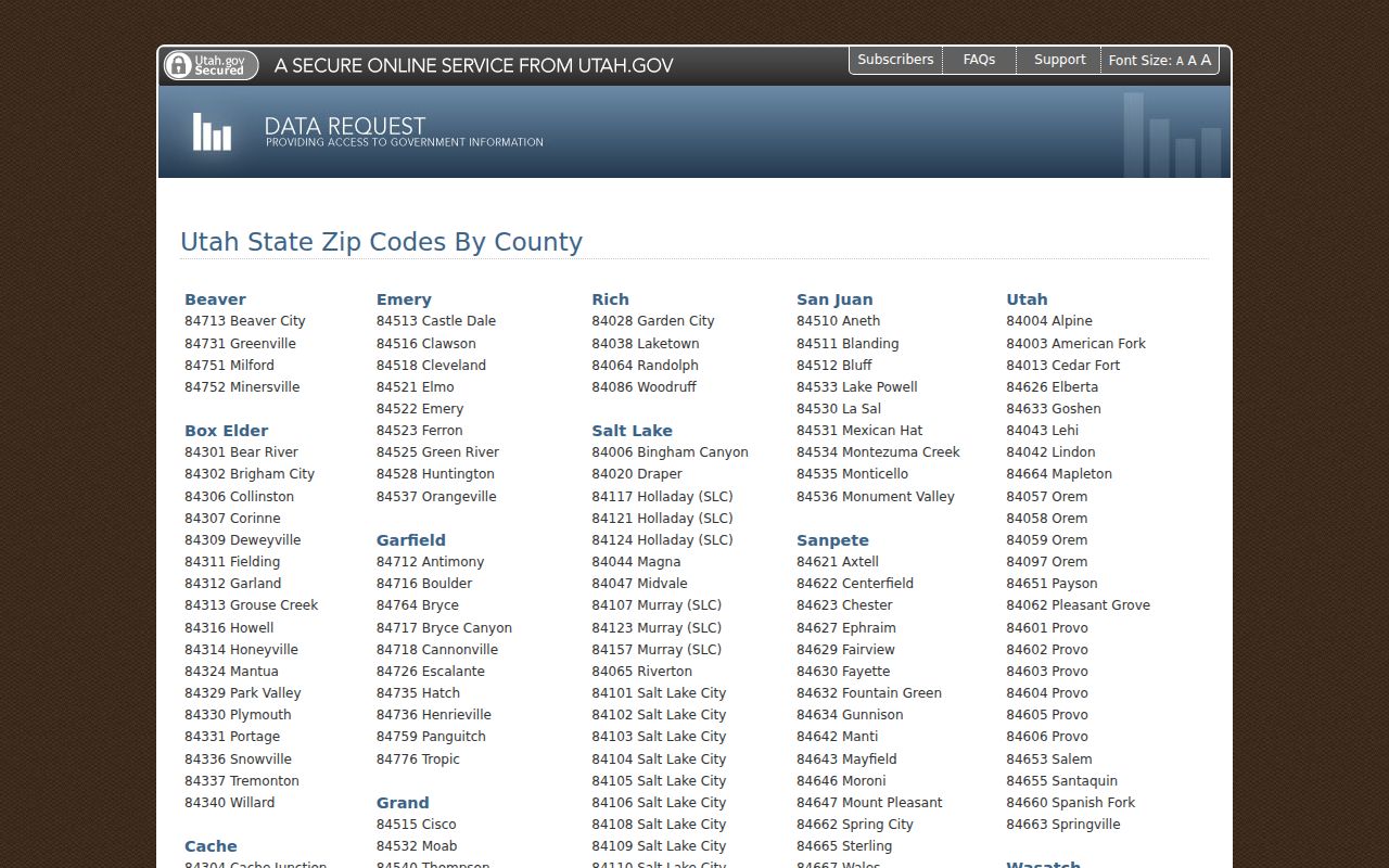
The state table capture shows why 84651 should be read as a shared postal association, with the municipality checked in a separate county record.
Payson 84651 Postal Anchor
The USPS ZIP Code Lookup is the first stop for a specific mailing address. The Payson Post Office is listed at 955 E 100 N, Payson, Utah 84651-5110, telephone 801-465-0564. Retail hours are Monday through Friday 8:30 a.m. to 5:30 p.m. and Saturday 9 a.m. to 1 p.m., closed Sunday. USPS, not a county assessor, assigns the delivery ZIP.
Use the full street number, direction, street name, type, city, and state. Save the returned ZIP+4 when the task needs a delivery-level match, but keep the five-digit ZIP as the broad postal key. A valid mailing label still does not establish who lives at the address. It only confirms how USPS recognizes the delivery point.
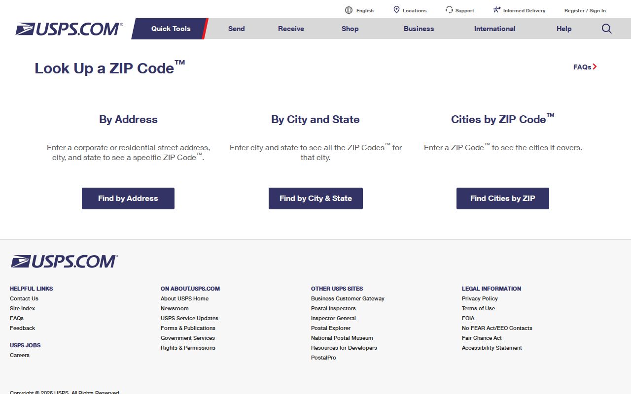
The captured USPS route is a practical front door for correcting a mistyped ZIP before county or voter research begins.
Find Payson Residents by ZIP Code
A ZIP code directory search must account for what each portal can actually filter. The Utah voter self-lookup has a ZIP field, but it is a person’s own registration check. County Land Records does not expose ZIP on its address form. It offers number, direction, street, type, and City/Location fields. The Parcel Map likewise showed address or common place, serial, owner, PLSS, and city controls, not a ZIP filter.
- Validate the complete address with USPS. Keep the city and state separate from the ZIP.
- Check Utah County Parcel Map for the parcel, physical boundary, city, and legal-description context.
- Run Land Records with the normalized street fields, then test City/Location and the parcel serial.
- Use the person’s own Utah Voter Search when registration status is the question. Do not build a public roster from the form.
- Once the ZIP narrows the search area, shift to the Payson street directory for address-level work.
State voter data products are a different channel. The statewide file is paid, tab-delimited, and subject to timing, permitted purpose, At-Risk withholding, and disclosure rules. County or district lists come from the County Clerk. A ZIP is a useful index key only when the custodian publishes it for that use.
Payson Search Fields by Portal
The contrast between the voter form and county property tools is one of the most important local facts. A person can enter a ZIP in the state self-check, but a county address search requires the street parts and location choice. GIS can place a parcel in a municipality or precinct without returning a ZIP-based resident list.
| Portal | Fields or controls | ZIP use |
|---|---|---|
| Utah Voter Search | First, last, DOB, street, city, ZIP, submit | ZIP field for self-status check |
| County Land Records | Number, direction, street, type, City/Location | No ZIP field observed |
| Utah County Parcel Map | Address/common place, serial, owner, PLSS, city, layers | No ZIP filter observed |
| County election data | Request and file-order process | Residential address may be included, with controls |
The same-name issue appears here too. A ZIP can narrow geography, yet it cannot resolve two people with the same name. Add a parcel serial, age range, date, or court location where the source lawfully supplies one.
ZIP Lines Are Not Payson City Limits
ZIP boundaries follow delivery routes. City limits follow legal municipal boundaries. That is why 84651 can be tied to Payson, Elk Ridge, and Spring Lake in the state table. A nearby rural address may use Salem naming and 84653 while lying outside Salem’s simple mental map. Confirm the municipality in Utah County GIS before calling a parcel a Payson property.
Boundary check. A Payson ZIP does not prove Payson city residency. Pair USPS validation with the county parcel map, then use the Recorder or City Recorder for an annexation or addressing record.
The Census QuickFacts view adds city-level context for Payson, including population, demographic, area, and change measures. Those statistics describe the incorporated city, not everyone sharing its postal ZIP. They are useful for scale, not for assigning a person or parcel to a city.
The Payson Census QuickFacts capture supplies city-level context.
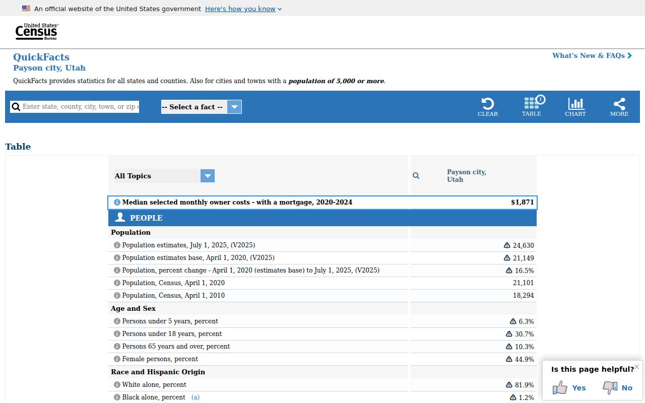
The QuickFacts capture reinforces the need to keep city statistics and postal geography in separate columns.
Place Payson ZIP Data in Context
Postal geography can be paired with civic geography without being mistaken for it. Utah County election maps identify Payson precincts 401 through 414. A parcel or address can be placed in a precinct through the county map, but that does not create a public list of the people in the ZIP. Likewise, a Census city statistic describes Payson’s incorporated area rather than every delivery point carrying 84651.
This distinction helps with family and civic research. A modern voter may use the ZIP field in the self-lookup to check a polling detail. A researcher tracing an older address may need a directory year, a newspaper, a deed legal description, and a city map instead. A person listed in an old record may have lived near Payson, in Haskellville, Salem, Elk Ridge, or Spring Lake, even when a later mailing label looks the same.
When a record does not fit, keep three columns in your notes: postal place and ZIP, legal municipality, and source date. That small habit preserves the difference between delivery service, parcel location, and historical association.
Reconcile Payson Grid Names
Street labels can cause a ZIP search to miss the right record. Payson material uses alternate grid forms such as 900 N and 9600 S, Utah Avenue and 100 N, or 200 S and 10400 S. Older directories, plats, city maps, and legal descriptions may preserve a different label than a modern mailing address. A ZIP code directory cannot repair that mismatch on its own.
For an older person or parcel, record both the postal label and the historic street form. Check the city map, Parcel Map, Recorder legal description, and any directory year before grouping results. Pre-ZIP records may have no ZIP at all. A later 84651 label does not prove that a historic city line or street name was unchanged.
The Utah County Parcel Map can test the physical parcel, city or location, serial, owner, PLSS context, layers, historic-date control, and print or export tools. Its historic-date control describes when information entered the online property system, not the recording date of a deed. Use the Recorder index for the instrument date.
Haskellville adds another caution. Its unincorporated position between Salem and Payson can put a nearby address into a record trail that does not fit a city-limit assumption. Keep the postal place, legal municipality, and source date beside each other when a ZIP boundary feels surprising.
Get Payson ZIP Evidence From Custodians
Online access includes USPS address and location tools, Utah County GIS, Land Records, voter self-lookup, and county precinct maps. For a delivery question, call or visit the Payson Post Office. County GIS lists 801-851-8626, the Recorder 801-851-8179, and the Payson City Recorder 801-465-5205 for annexation or addressing documents. Use the office that holds the record.
GRAMA can request a specific city addressing, annexation, or map record. A written request should name the record with reasonable specificity. Inspection is free, while copies or staff work may cost actual fees. Do not ask a city or county to create an unverified ZIP resident list. For historical work, use city maps, the General Plan, Sanborn sheets, directories, plats, archives, and the library or historical society.
Define Payson ZIP Code Terms
Clear terms help keep a ZIP code directory from claiming more than the sources show. The distinctions below matter when a mailing address, parcel, voter record, or historical entry is compared.
- ZIP versus ZIP+4
- The five-digit ZIP marks a broad delivery area. ZIP+4 adds four digits for a tighter delivery segment or point.
- PO-box ZIP
- A ZIP used for post-office boxes or a postal facility. It may not describe the location of a street parcel.
- Unique ZIP
- A ZIP assigned to one large institution or special delivery use. No unique ZIP was documented for Payson in the research.
- Carrier route
- A mail carrier’s delivery path within a broader ZIP area. It is not a city boundary.
The research found no official current Payson ZIP polygon or historic realignment log. Treat any precise edge claim as unverified until USPS publishes or confirms it. The safe workflow is USPS first, county GIS second, and the relevant record custodian third.
That gap is worth recording in research notes. A map drawn from an unverified edge can turn a nearby Salem, Elk Ridge, or Spring Lake address into a false Payson match. Use the date of each lookup and retain the source that supplied the postal label.