
Payson Neighbors by Record Layer
Each source answers a narrower question about the block. Start with the physical parcel, then verify the serial and legal record. The table also shows why an owner result cannot be rewritten as a list of people who live nearby. The county map is reference-only, and a public election product is not a casual address directory.
| Source | What It Shows About a Block | Access |
|---|---|---|
| Utah County Parcel Map | Adjacent polygons, parcel serial, situs, owner panel, city, PLSS, and map context | Free interactive viewer |
| Utah County Land Records | Owner/name, address, serial, tax-year, abstract, deed, and related entry paths | Free county portal |
| Utah voter products | Self-status or controlled election data, subject to timing, purpose, fee, and At-Risk rules | State request route |
| Utah County election maps | Payson precinct geography, including precincts 401 through 414 | Free map route |
| Community and association records | A named organization’s own contacts or filings when a specific entity is known | City, Secretary of State, or GRAMA route |
The map can show a shared edge, road, alley, or vacant tract. Land Records can show an owner, lender, trust, company, tax mailing address, or recorded instrument party. None of those fields alone proves who occupies a home. Household members and delivery information are not a public block roster.
Touching Parcels in the Payson GIS Map
Use the Utah County Parcel Map to place the starting address. Its search choices include address or common place, serial or book/page, owner name, PLSS Section/Township/Range, and city. Selecting Payson can zoom the map. A selected parcel can expose or link to its owner or name identity, situs address, county serial, boundary, city or location, legal-description or PLSS context, appraisal and tax links, and recorded-document or abstract links.
After locating the parcel, inspect the polygons that touch it. The map has layer controls, basemap choices, transparency and legend controls, measurement tools, deed points, print or PDF, export, and reset tools. Its historic-date control describes when an entry entered the online property system, not necessarily the deed’s recording date. The map is a location aid, not a survey or title opinion.
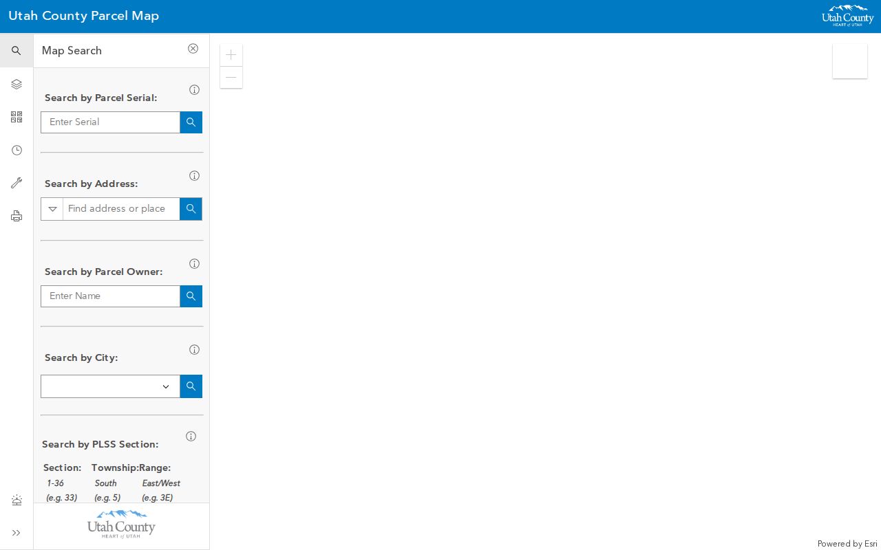
Choose a real Payson parcel before copying a serial or owner field; the viewer’s general controls do not identify a universal block roster.
From One Payson Address to the Block
A repeatable adjacent-parcel process keeps the map, county records, and street meaning in the right order. Do not widen the search until the starting parcel is stable. The useful flow is: address normalization → GIS parcel → serial and situs → touching polygons → Land Records verification → owner, mailing party, lender, and instrument classification → stop when the question is answered.
- Normalize the address, including direction, street type, city, and any alternate county-grid label.
- Select the parcel in the Parcel Map and copy the serial, situs address, city, and map coordinates.
- Inspect each touching polygon. Note whether a road, alley, vacant strip, or other boundary sits between the parcels.
- Search every serial in Land Records by property, address, or name. Test formats such as 123456789, 12:345:6789, and 12 345 6789 when a label differs.
- Classify each result before using it: owner, tax-mailing party, lender, grantor, grantee, release, tie, or other recorded role.
- Use the full Payson Street Directory route only when the question expands from touching parcels to a named street.
A shared boundary is a geographic fact. It is not a social relationship, and it does not show that two households know one another. Stop once the requested parcel relationship is clear.
Owner, Mailing Party, Occupant
Utah County’s assessor and Land Records workflow separates physical location from tax correspondence. A situs address identifies where the parcel sits. A mailing address receives a tax notice and may belong to an out-of-area person, lender, trust, or company. A deed names parties to a recorded instrument. A current occupant may not appear in any of those fields.
- Situs
- The physical parcel address used to place the property on the street and map.
- Serial
- The county parcel identifier used to move from the map to property and deed searches.
- Tax mailing address
- The address used for notices. It is not an occupancy statement.
- Recorded party
- A grantor, grantee, lender, trustee, or other party to a document.
- Occupant
- A person living at the parcel, a fact not established by an owner or deed field alone.
For historical or current questions, keep each label in the notes. A parcel search may show a Payson situs with a mailing address in another city. That is normal record structure, not a contradiction.
Payson Precincts 401 Through 414
Utah County election maps add civic geography to the parcel picture. The county map route lists Payson precincts 401 through 414. A map or address search can place a parcel in a precinct without revealing a person’s election record. Precinct boundaries answer where an address votes, not who lives in every nearby house.
The state’s free voter self-lookup uses First Name, Last Name, DOB, Street Address, City, and ZIP fields. It is meant for a voter checking registration status, polling information, and related details. The form is not an address-browse tool. Utah County election maps are the proper geography route when the question is precinct placement.
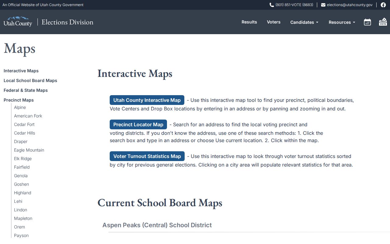
Precinct lines add civic context to a block, but they do not create a list of adjacent households.
Why Voter Data Is Not a Block Directory
Utah separates personal self-lookup from controlled election-data products. The voter-data route can provide a statewide tab-delimited file under the current ordering rules, with fields such as legal name, voter ID, age range, residential and mailing address, county, precinct, districts, party or unaffiliated status, active or inactive status, last update, and vote history. Vote history shows which elections a person participated in, not vote choices. Full birth date is restricted.
The state page documents fees, timing, permitted use, and At-Risk withholding. The current 2026 transition language should be checked against the live instructions before ordering. A county or district list comes from the Utah County Clerk, not from the self-lookup form. Do not turn a voter file into a published block list. Use a person’s own lookup for that person’s status, and use the map for precinct geography.
The Utah voter-data access page documents the controlled file route and its permitted-use limits.
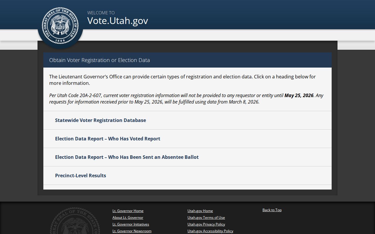
The state’s access rules are part of the record, especially for At-Risk voters and address-based use.
Payson’s Missing Association Inventory
No official public page located a complete citywide Payson neighborhood-association or HOA inventory. That gap matters. A community directory may be held by an association, a private group, a recorded plat, or a city file, and the public record may identify an organization without listing every member household. Use a known organization name or a specific plat, petition, or contact record.
| Route | What to Ask For | How to Access |
|---|---|---|
| Payson City Recorder | A named city petition, subdivision, annexation, plat reference, or municipal contact | 439 W Utah Ave; 801-465-5205; city online records and in-person counter |
| Payson GRAMA | A narrow city record series and date range, not a created people list | City GRAMA route, City Recorder contact, inspection or copy request |
| Utah Secretary of State | A known incorporated association or business-entity filing and principal record | Business Entity Search by legal name or entity number |
| Utah County GRAMA | A county-held plat, map, petition, or organization-related public record | County form with office, description, inspect/copy, and estimate choice |
The City Recorder keeps or routes municipal minutes, ordinances, resolutions, contracts, deeds, easements, notices, election records, and annexation material. Annexations and subdivisions may be recorded through the Utah County Recorder. The Secretary of State route is useful only when the organization’s legal name is already known. None of these channels is a substitute for a published citywide roster.
Haskellville at Payson’s Edge
Nearby addresses do not always fit a city-limit assumption. The East Side Comprehensive Plan places Haskellville between Salem and Payson as unincorporated Utah County, mostly agricultural with private residences and about 1,200 acres. A nearby place can use a Payson mailing address while remaining in a county planning area. Check the parcel municipality, city layer, and annexation record before grouping it with Payson neighbors.
Payson’s street vocabulary creates a second boundary check. Utah Avenue is 100 N, and 900 N also appears as 9600 S. The Parcel Map, city maps, plats, and annexation notices help reconcile an older or rural description with a current location. The distinction is useful for geography, but it should not be used to infer the names of people at an address.
Official Rolls Versus Commercial Neighbor Tools
Commercial neighbor-lookup tools may combine purchased data, old addresses, public filings, and uncertain matches. An official source is narrower, but its custodian, fields, date, and access rule are easier to identify. Compare the category before relying on either.
| Source Type | Strength | Limit |
|---|---|---|
| County GIS and Land Records | Parcel geometry, serials, situs, owners, and recorded instruments | Owner and party fields do not prove occupancy |
| Election maps and voter products | Precinct geography or regulated election fields | Use, timing, fee, privacy, and At-Risk rules apply |
| Known community filing | May confirm a legal organization or a city-related record | No complete citywide membership list was found |
| Commercial category | May offer a broad search interface | Source dates and accuracy can be unclear; verify with the custodian |
Privacy Boundaries for Payson Neighbors
Utah Safe at Home provides a substitute address and mail forwarding for eligible participants facing domestic violence, abuse, stalking, human trafficking, or sexual assault. A public record may show the substitute address. Do not try to reverse it through parcel, voter, directory, or map records. Utah voter At-Risk designation also withholds residential and other identifying details from public files, parties, and candidates.
Other limits remain. Court records can be private, sealed, juvenile, expunged, or otherwise protected. Utility, delivery, and household-member information is not a public block layer. A GRAMA request cannot override a confidentiality statute, protected designation, court seal, or other access rule.
Lawful use. Neighbor research in Payson can support civic curiosity, reconnecting, genealogy, and personal safety awareness. Do not use records to watch, intimidate, harass, or harm anyone, and do not republish protected address information.
Utah Safe at Home explains the substitute-address route and confidentiality program.
A protected resident may have a substitute address, so the absence of a true location is a privacy safeguard.